Nashwaak Watershed Association
Floodplain Restoration
The Nashwaak Greenway
The Nashwaak Watershed Association Inc., in partnership with the City of Fredericton, is laying the groundwork for the creation of a “Greenway” along the banks of the Nashwaak River from Marysville to the confluence of the St. John and Nashwaak Rivers. We have created 10-year management plans for two city owned properties:
Marysville Flats 10-Year Management Plan
Neil’s Flats 10-Year Management Plan
Our hope is that the Nashwaak Greenway will be a publicly held forest and wetland area, with trails and river access points maintained as a natural landscape within walking distance the city centre and maintained for the use of all. The proposed area will offer the enjoyment and experience of an untouched forest, a clean and bountiful river for fishing, paddling, or swimming and all the activities, benefits, and natural beauty most city dwellers must drive great distances to find.
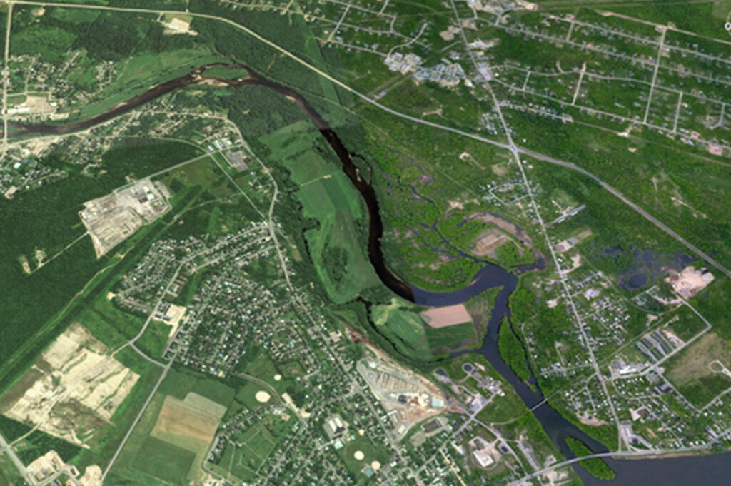
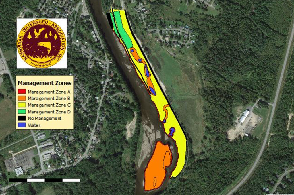
The land falls within the floodplain and as such cannot be used for housing or industry. As a forested wetland it will greatly increase flood protection for the city, improve our air quality, and moderate summer temperatures. As the city grows and the surrounding forests are cleared, this natural buffer will help ensure that future generations have a beautiful city to live in and can enjoy the Nashwaak River as we do today.
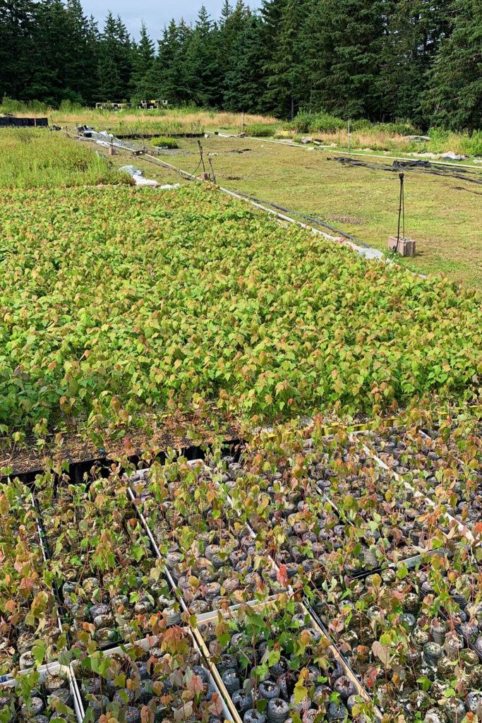
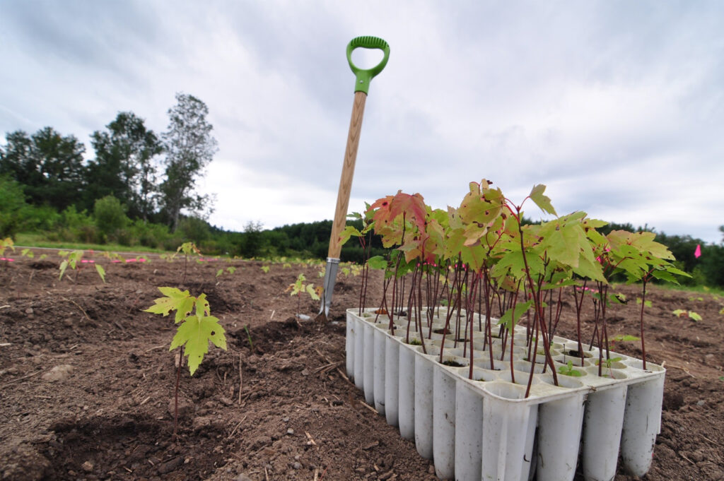
As of the end of 2018, the NWAI has planted over 8,000 willow stakes, over 4,000 native tree seedlings, and restored a 30 m stretch of bank using bio-engineering techniques.
Riverbank Stabilization
Erosion is a natural process that rivers undergo as they meander, or move back and forth across their floodplain. However, clearing of land, building structures that permanently alter the river’s course, and removing trees and shrubs whose roots help stabilize the banks of the river all increase the rate at which the slopes deteriorate. Sediment is then released into the water, which decreases water quality, and the removal of the tree canopy results in warmer water. There are many ways to reduce erosion, but a common natural method is to re-introduce native species such as silver maple (Acer saccarinum) along disturbed sections of floodplains and eroded river banks in order to re-establish this critical habitat that these forests provide to sensitive and species at risk.
Landowners in the watershed are encouraged to participate in shoreline naturalization. Free site visits are available to waterfront property owners. During these visits staff will provide advice and recommendations for the property then create and implement a planting plan.
Floodplain forests are critically important ecosystems. One of the main benefits they offer to the river is their ability to mitigate flood damage by absorbing large amounts of water and slowing the speed and reducing the height of a flood. Planting silver maples can significantly reduce soil runoff and erosion along a riverbank. A mature silver maple can draw up and release into the atmosphere 200 L of water every hour (Kozlowski and Davies, 1975). In addition, their canopy shades the river and helps to moderate its temperature. Riparian forests (those along the banks of a river) provide habitat for many different species of animals and plants. For these reasons, NWAI is committed to restoring the silver maple floodplain forest communities along the banks of the Nashwaak River.
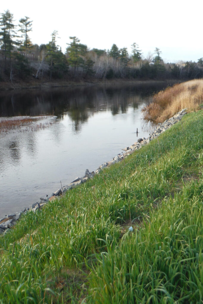
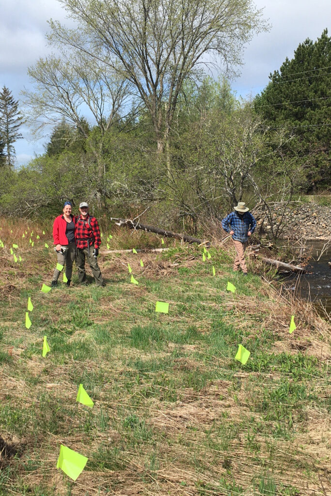
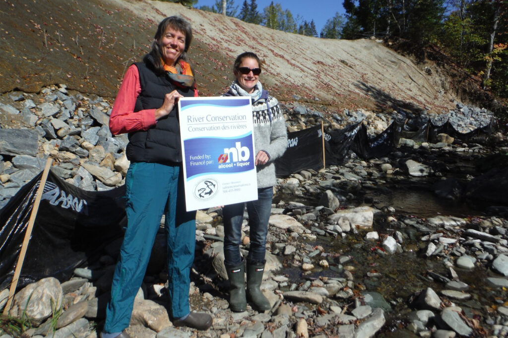
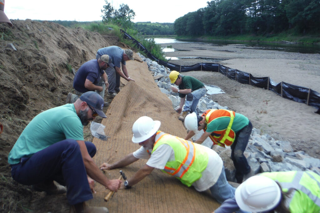
In areas of more severe erosion, NWAI advocates the use of bio-engineering methods, including geotextile fabric, which biodegrades after several years. This method is not only much cheaper than rip-rap (rocking the entire bank), but looks more natural and provides riparian habitat while shading the adjacent stream. In 2017, NWAI completed 2 bioengineered bank restorations: one in Marysville and one on MacPherson Brook. In 2019 we completed a bio-engineered bank restoration at Nashwaak Valley Farms.
Get the latest news right to your inbox!
Subscribe to our monthly e-blast email newsletter to stay up to date on news, projects, events and more!
