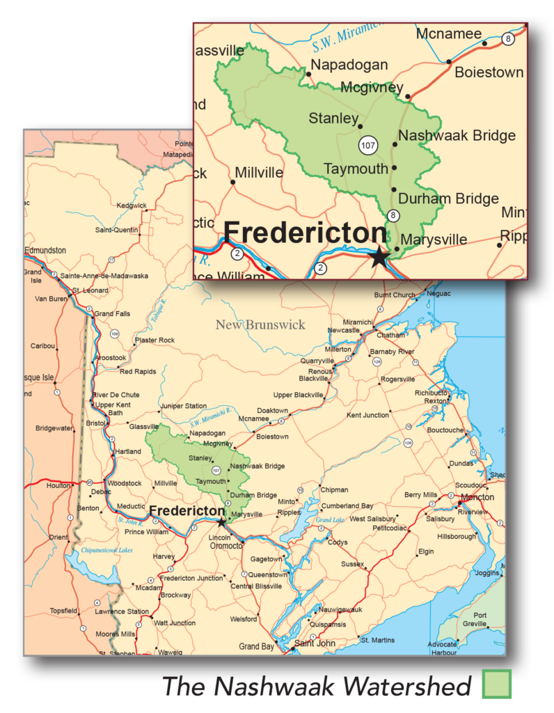
The Nashwaak Watershed

The Nashwaak Watershed drains 1,707 km2 of central New Brunswick. It flows 110 km from Upper Nashwaak Lake to the Saint John River in Fredericton. There are approximately 397 km of tributaries, with the largest including Grand John Brook, the Tay River, and Cross Creek Stream. The landscape was shaped during the formation of the Appalachian Mountain Range (480-280 million years ago) and, afterwards, by the movement of glaciers.
Learn more about the watershed on our ArcGis Story Map
Settlement
The Nashwaak watershed was settled at least 11,000 years ago, and is the traditional territory of the Wolastoqiyik (Maliseet) people, who used rivers and streams to access food and other resources. Portage routes connecting major watersheds were vital links for trade and communication. Alteration of the rivers and land was relatively minor during this period.
European colonization began in the 17th century, with the arrival of Samuel de Champlain and French grant holders. Between 1691 and 1692, the French set up a fort at the mouth of the Nashwaak River called Fort Nashwaak; it was the first European settlement in the Fredericton area and became the capital of what was then called Acadia. The fort was besieged by the British in 1696 and abandoned in 1700. Major settlement in the area began much later, when Loyalist settlers arrived in 1783, settling further up the St. John River at Ste. Anne’s Point.


Human Impact: Past & Present
In the 18th and 19th centuries, the major industries were logging and agriculture, which permanently changed the landscape and the ecosystems of the watershed due to construction of dams and river crossings, log runs, pollution from lumber mills, run-off from cleared land, and increased erosion due to the removal of riverside vegetation. This eventually led to degraded water quality and reduced biodiversity in the river and streams.
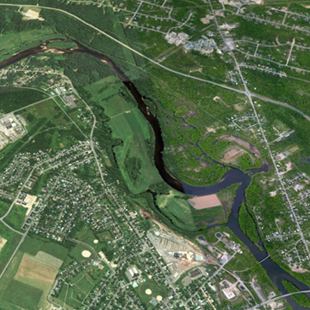
Relative to other watersheds in the province, the Nashwaak remains relatively undeveloped and sparsely populated (~15,000 people). The population is concentrated close to the mouth of the river, from Durham Bridge downstream. The predominant land cover or land use is forest at 92.5% (most of which has been cut and is at various stages of re-growth), followed by agriculture (2.6%) and wetlands (2%). Residential areas cover only 1% of the watershed. Agriculture and urbanization have led to the removal of vegetation, which has destabilized the riverbanks.
